
Timișoara - the town on Bega or Bega - the river that crosses Timișoara?
A question that may seem displaced but which is very important to determine how the city relates to the river. The classical European cities have established their historical centers adjacent to a river then expanded into successive historical stages. Compared to these, Timișoara is the only one built on the principles of the colonial cities, by demolishing the previous stages and replacing them with a completely new settlement. Therefore, it is necessary to understand the stages through which the city has gone through depending on the various historical periods.
The original role of the city was military - strategic, taking advantage of the marshland in the north of Timiș, hardly accessible and easy to defend. At that time the watercourses were systematized to allow the construction and the defense of the fortress. Subsequently, the same watercourse was the main economic link between Timișoara and Budapest and Vienna, shortly before the construction of the railways. In the twentieth century, due to the regularization of the water courses and the completion of land improvement works, the Timişoara area became one of the most fertile for agriculture, and Bega's role was either to supply water for irrigations or to take over excess water.
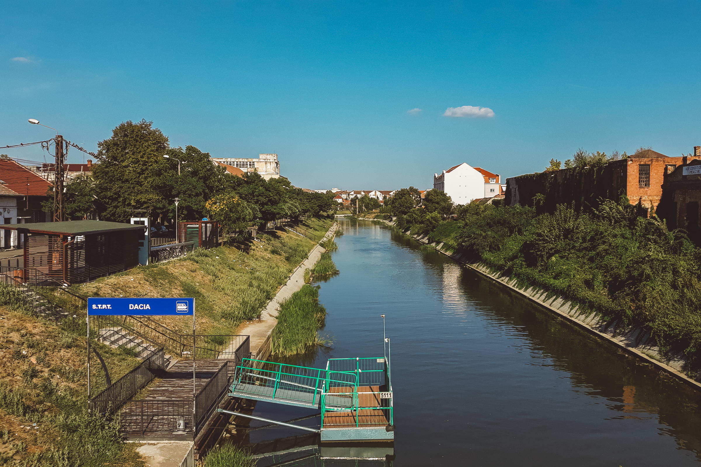
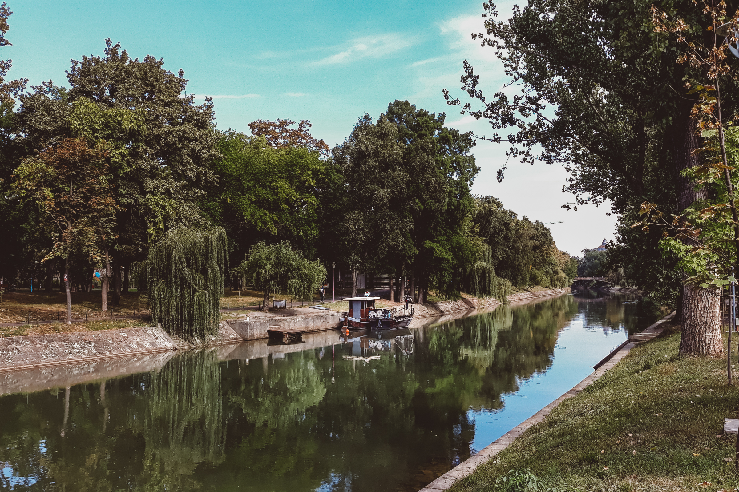
Today, Bega is the river on the bank of which the citizens walk 2-3 times a month, over which they cross daily to get to and back from work and next to which they photograph themselves on sunny days. It is the river of rowers, boats and swans, as it is the river of the citizens of Timișoara and all those who inhabit the shores, from springs to spills. This blue-green corridor maintains the biodiversity up to the green areas in the centers of nearby cities. The current role of the river, in Timişoara, is that of an axis for the parks, situated in the North and South, that have made the city famous and which are a true green lung that penetrates tangent to the central area. So, what three centuries ago was seen as a means of defense, today became a means of enhancing the inhabitants quality of life.
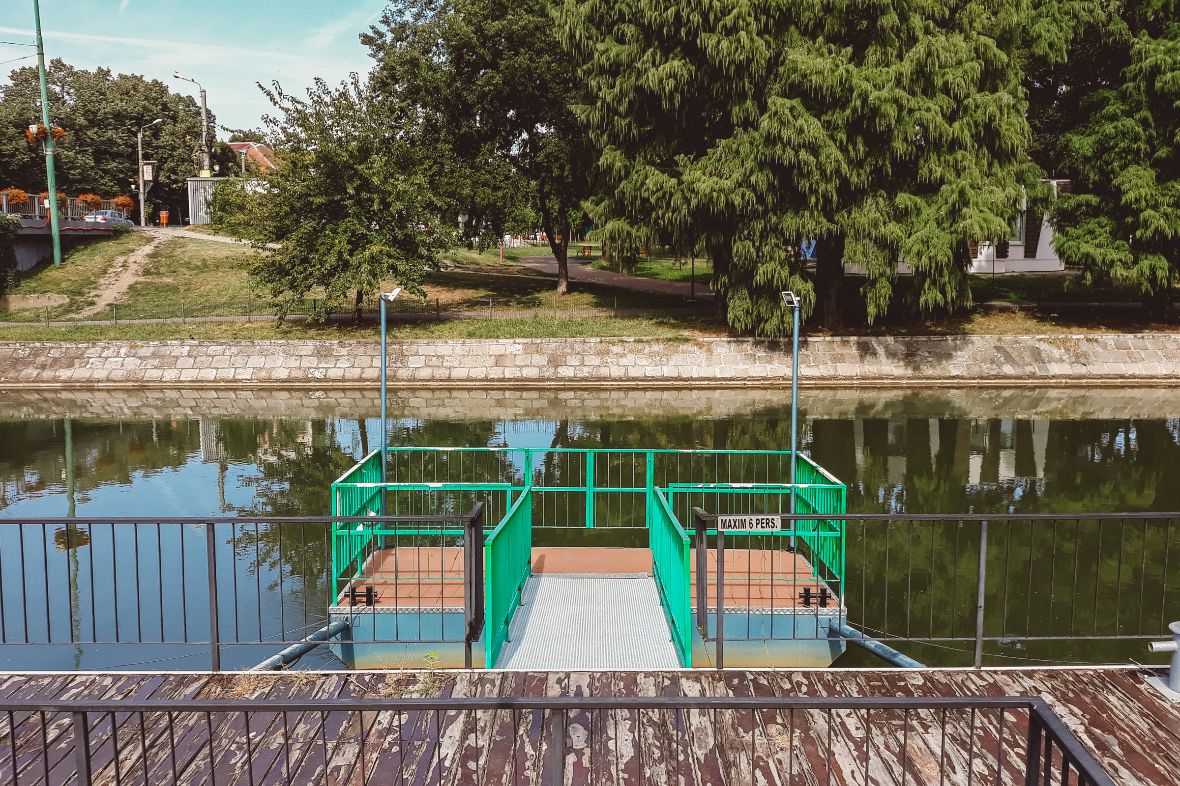
Since the implementation of the 1998 General Urban Plan, Bega has become a water course with the predominant role of a place for loisir and leisure activities, providing a significant green space on the banks of both sides. All subsequent urban plans have relied on this role of the water and have maximized the connection between the river and the city. However, positive results fail to appear in areas outlying the center and in historical districts. We are in the process of replacing previous industries with mixed housing and services complexes, each trying to get the maximum advantage from the proximity of water. If the private sector makes its presence felt significantly, the authorities are shy. The master plan on bank planning was implemented with gaps in the continuity of bicycle paths and sidewalks, in the quality of urban furniture and in the possibilities to access the water. The result is visible through the rapid degradation of facilities and lack of activity over a significant interval. And, even in this case, the private investments are coming to the rescue, especially through the terraces.

Bega's potential is huge. Today's role of the river, assumed by winning the title of European Cultural Capital, is to support Timișoara's journey to become the promoter of European cultural values in the region of confluence between Central Europe and the Balkans. Bega is supposed to be a limit that, contrary to its dividing role, this time brings together the communities of Timișoara in a representative, continual and international public space. By doing so, it, temporarily or permanently, activates unused or insufficiently used spaces, it creates links with the territory (downstream, upstream and downstream) and it offers opportunities for basic social activities for the health of a united community.
What does this mean? It means that the relationship with the water should be one of the major themes of the city, in addition to all others, to shape the profile of the community as the most important regional pole. The Bega Canal creates connections between the city and the territory, similar to the links made by the communication ways, the watercourse being the cultural communication channel between Timişoara, the Banat mountain area and the riparian settlements of Serbia.
Concluding the above plea, we note the complex relationship between the city and the water. Timişoara is therefore the city located on an ecological regional network, habitable in optimal conditions only after the draining of previous marshes and the sacrifice made by some generations of inhabitants. Its sustainability depends on the proximity management and on the importance of the green areas and the skeleton they are developing from an international scale (Bega Channel) to a local scale (drainage channels). We will refer to the latter in the next article.
Sources:
- Public Space, Key Element in City Administration, Radu Radoslav, Urbanism New Series Series, no. 9/2011;
- Use of Reconversion of Industrial / Military Areas in Central Autogeneration - Case Study Urban System Timisoara, Radu Radoslav;
- The Urban System of Timișoara in the Modern Age, Radu Radoslav, Ștefana Bădescu, Ana Maria Branea, Mihai Danciu, Marius Stelian Găman, Urbanism Seria Nouă, Nr. 18/2014.