Mocioni Square
The current Alexandru Mocioni square has been awarded over time several names, which were related to changes in the political registers. The name Alexandru Mocioni was resumed in 1993, as the square was named Alexandru Mocsony between 1946 and 1956. However, at the time the square was determined from an urban point of view, it had two distinct names, in line with its original urban structure, which represents a particular case in the city's urban squares.
Until 1868, the land on which the square was later defined was included in the esplanade area surrounding the fortress, which represented a nearly 1 km wide strip of unbuilt land with a construction ban. In 1868, it was decided to reduce the unbuilt strip of land to 569 meters, almost half the initial width, a decision that allows the historical outer districts (Iosefin, Elisabetin, Fabric) to develop closer towards the fortress. Prior to this year, the ground of the future square was exclusively occupied by temporary production facilities, namely the steam-powered sawmill and the wood deposit of the von Gotthilf family.
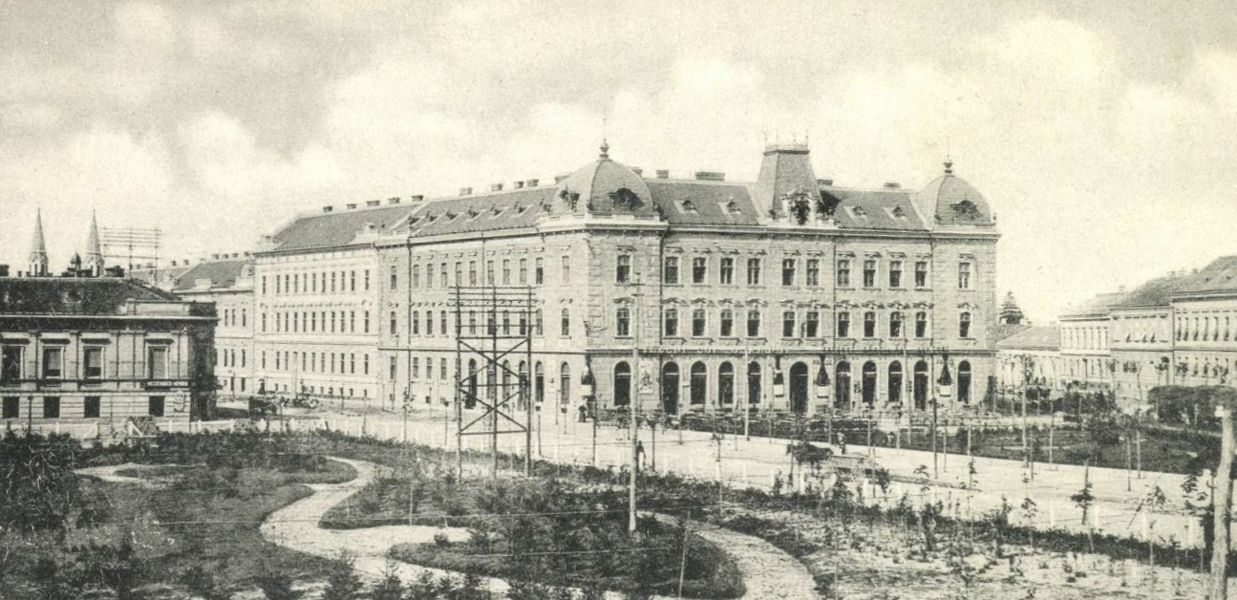 The square at the beginning of the 20th century, seen from the southern side. Source: gallery.hungaricana.hu
The urban plans developed at the end of the 19th century define the character of the street structure in this area by continuing the initial rectangular fabric of the historical nucleus of the Iosefin district. The initial space of the square was defined as a rectangular space similar to the squares of other historic areas of the city, based on the orthogonal street structure, with rectangular plots of similar size oriented with the shorter side towards the market.
From a territorial point of view, however, the 16 December 1989 boulevard (formerly named March 6 and Hunyadi) always constituted the border between Iosefin and Elisabetin districts. Alexandru Mocioni Square is segmented by this boulevard in two distinct parts, of unequal shape and surface. These two parts, from an administrative point of view, have always belonged to different entities and have had different names. The northwest fragment, administratively belonging to the Iosefin neighbourhood and having a triangular shape, was initially named the Küttl Square, after the name of a Timişoara mayor of English origin, and was later on named Sinaia Square. At the same time, the southeast fragment, having a trapezoidal shape and being originally defined as an urban park, belonged to the neighbourhood of Elisabetin, was originally called Josif Square and later Asanesti.
The built area of the Küttl Square is developing faster compared the rest of the square. In 1894, the municipality became the owner of the land of the former esplanade, but was unsuccessfull in finding buyers for the new plots for sale. As a solution to the lack of attractiveness of the proposed development area, the municipality decides to build with its own funds within the square, unifying two plots on the western side of the square and building between 1896-1897 the Palace of the Municipal Pension Fund, a monumental palace with apartments for rent. The action fully attains its purpose, so that by the end of 1896 five plots of land were sold in the vicinity of the palace, and after 1901 also the southern front of the market, belonging to the Elisabetin neighbourhood, was built.
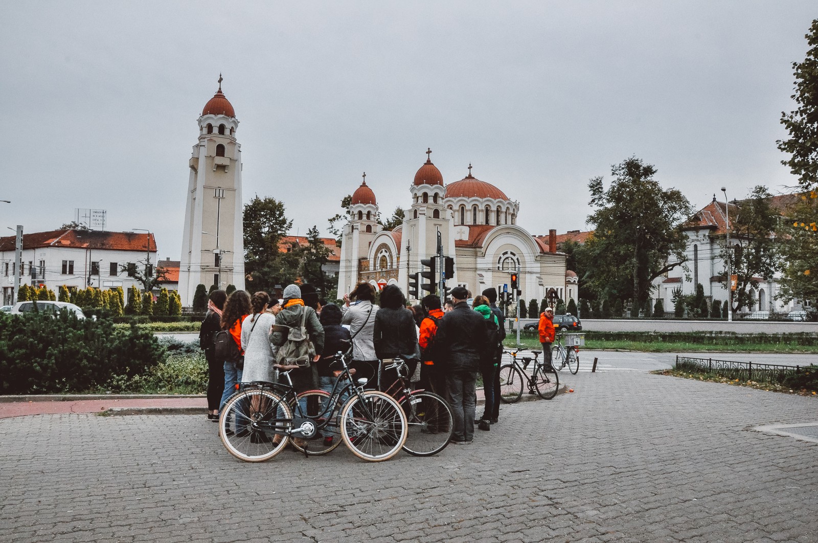
The construction of the Romanian Orthodox Church in 1921 upon the former park of the fragment of the square belonging to the Elisabetin neighbourhood and the physical separation determined by the 16th of December 1989 boulevard blurred the perception of the urban square as a whole as originally defined.
Sources:
- The street nomenclature of Timisoara City Hall
- Mihai Opriș, Mihai Botescu, XIII Piața Alexandru Mocioni, Monitor of Timişoara City Hall, October 2011
- Mihai Opriș, Mihai Botescu, XIX Piața Alexandru Mocioni, porțiunea aparținând cartierului Elisabetin, Monitor of Timişoara City Hall, November 2011